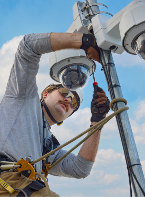
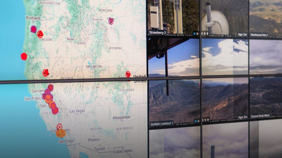
High above the wooded valleys and rolling hills of Northern California, a field technician installs a high-definition camera on a metal tower that could prevent the next disaster. The device, about the size of a bowling ball, is part of the ALERTCalifornia public safety program and is led by a multidisciplinary team at UC San Diego. It’s an ever-growing network of more than 1,200 monitoring cameras and sensor arrays, an essential tool for first responders and scientists who monitor the Golden State for wildfires and other natural hazards.
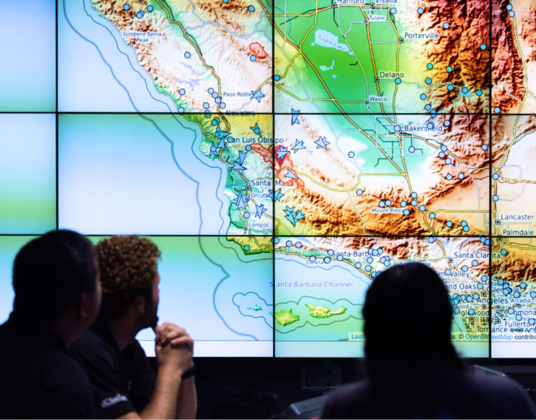
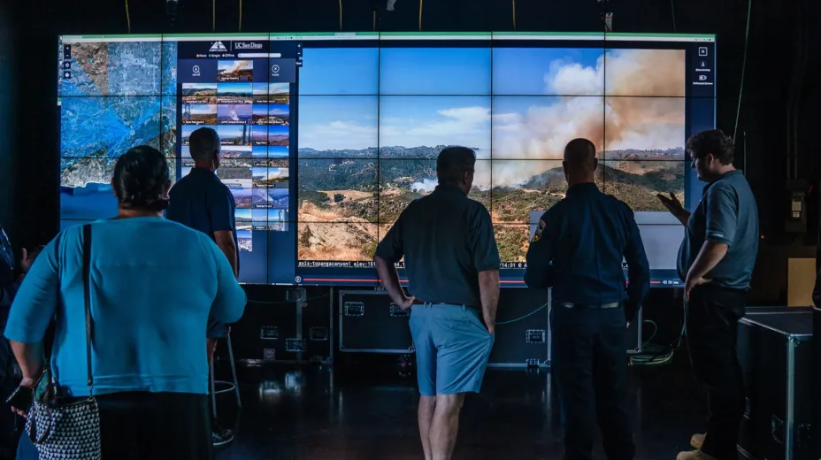
ALERTCalifornia cameras can provide views up to 60 miles on a clear day and 120 miles on a clear night. The California Department of Forestry and Fire Protection (CAL FIRE) and other federal, state and local emergency managers use the cameras to spot wildfire smoke, monitor fires, scale response and inform evacuations. ALERTCalifornia also works with emergency managers to respond to cascading threats after wildfires, including landslides, debris flows and flooding.
To effectively leverage the massive data from these cameras, ALERTCalifornia uses artificial intelligence to support early wildfire detection. When the AI spots a potential fire on the camera network, the system alerts firefighters and provides an estimated incident location. If the incident is confirmed, firefighters respond quickly to extinguish the fire.
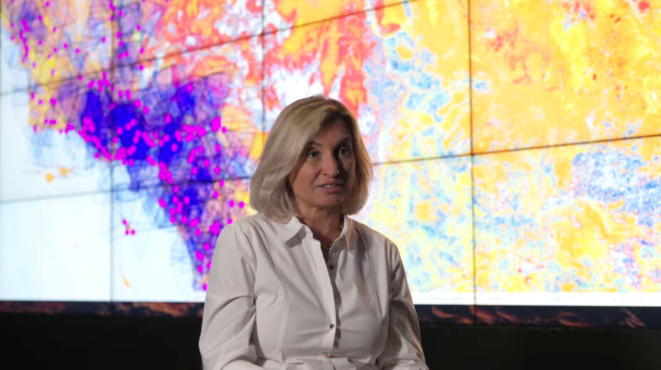
“The greatest success of this program is fires you never hear about,” says Neal Driscoll, ALERTCalifornia director and professor of geology and geophysics, Scripps Institution of Oceanography at UC San Diego. “With the frequency and severity of wildfires in California increasing at an alarming rate over the last decade, remote sensing data and AI have never been more essential to develop effective and time-critical plans for wildfire prevention, protection, mitigation and response.”
This award-winning and innovative public safety program supports emergency managers with real-time information and advanced data, helping them prepare for, respond to and recover from all stages of natural disasters.